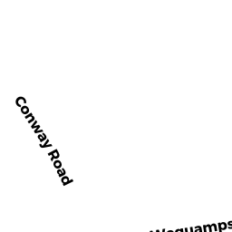
242 CONWAY RD
Owner Information
SUMMIT DISTRIBUTING LLC
240 MECHANIC ST
LEBANON, NH 03766


Property Details
242 CONWAY RD is classified as a Fuel Service Areas - providing only fuel products (Conven mkt).
The primary structure on this property was built in 1960. There are 1,276ft2 of built area within this property. There is 1,276ft2 of residential/living space within this property.
242 CONWAY RD is valued at $538,400. The land is valued at $324,900 and the structures are valued at $162,500. There is an additional valuation of $51,000 on this property.
This property is in Zone RA. Confirm with local Zoning Board authorities to ensure there are no overlays or other easements on this property.
The most recent deed for 242 CONWAY RD is recorded at the local registrar in Book 127, Page 16. 242 CONWAY RD was last sold on Thursday, October 16, 2008 for $0.
Assessment data from fiscal year 2022.
Flood Data
According to the FEMA National Flood Hazard Layer, this property does not appear to be in a flood zone. It may also be in an area not yet reviewed. Nonetheless, confirm this information prior to taking any action.
To view the flood hazards around this property, create a FEMA "Firmette" Map of the area around 242 CONWAY RD.
Broadband Internet Providers
| Provider | Type | Bandwidth (mbps) | |
|---|---|---|---|
| Verizon New England Inc. | DSL | 5 | 0 |
| Viasat Inc | Satellite | 100 | 3 |
| VSAT Systems, LLC. | Satellite | 2 | 1 |
| HughesNet | Satellite | 25 | 3 |
| GCI Communication Corp. | Satellite | 0 | 0 |
| Comcast | Cable | 1000 | 35 |
Broadband service provider data from December 2020.
Adjacent Properties
- 236 CONWAY RD
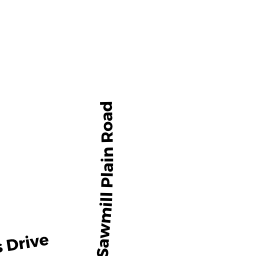
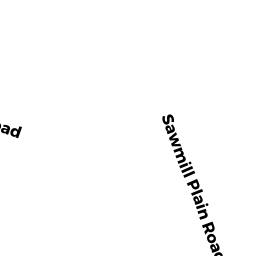
Single Family Residential owned by PATTERSON MICHAEL P - OFF SAWMILL PLAIN RD
Undevelopable Residential Land owned by LALIBERTE CHARLES W+ ELIZABETH - 31 SAWMILL PLAIN RD
Single Family Residential owned by LALIBERTE CHARLES W+ ELIZABETH - 0 CONWAY RD
Undevelopable Residential Land owned by BOWEN AUDREY J - 0 SAWMILL PLAIN RD
Undevelopable Residential Land owned by DANYLUK DANIEL E + JOAN M - 0 WEQUAMPS DR
Undevelopable Residential Land owned by BOWEN AUDREY J - 0 WEQUAMPS DR
Undevelopable Residential Land owned by BOWEN AUDREY J - 39 SAWMILL PLAIN RD
Single Family Residential owned by DANYLUK DANIEL E + JOAN M